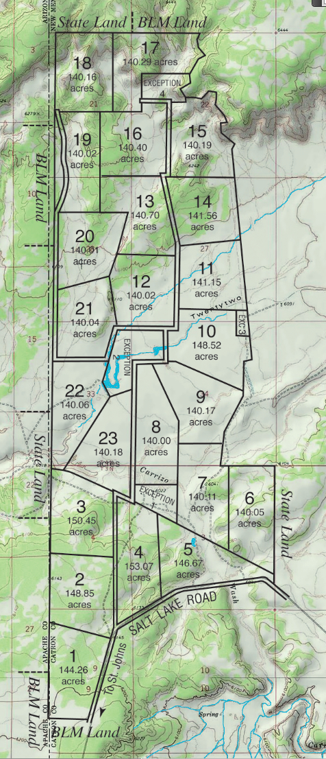
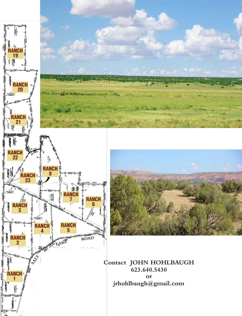
The topographical features depicted on this map are helpful in visualizing the landscapes of each of the individual properties.The mapping is based upon the U.S. Geological Survey map of Antelope Meadows Ranch and is set at 20 foot contour intervals.This means that each line represents a 20 foot change in elevation. Blue lines indicate rain fed arroyos. Antelope Meadows Ranch properties are situated in a lush mountain valley. The acreages here offer some of the finest secluded cabin sites found anywhere in New Mexico.The custom surveying of each ranch parcel along the natural contours of the land has produced ranch sized parcels combining generous portions of woodland, gently rolling hills, meadows, prominent wooded ridgelines and highset building sites with overlooks of the surrounding wilderness.
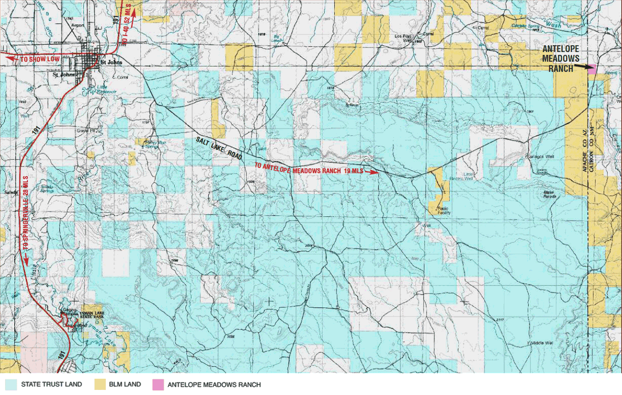
Location: Antelope Meadows Ranch is located in Catron County approximately 19 miles east of St. Johns, AZ. Access from this charming pioneer community to the Ranch is via the Salt Lake Road, a quiet County maintained gravel road suitable for all types of vehicles.
Map not precisely to actual scale. Prices and parcel availability subject to change without notice.
Elevation: The mean elevation is 6,100 feet above sea level.The air at this elevation is clear and crisp. Several light winter snows can be expected at this elevation, while the summer monsoons provide ample rainfall throughout the months of July, and August.
Special Features: Several Antelope Meadows Ranch acreages border State and Federal Trust Lands.These large blocks of wilderness are typically 640 acres in size and provide a quiet, natural backdrop to ranch owners.
Parcel Sizes: Sizes range from 140 to 153


